Photo Supreme documentation

Search all manuals

Enter at least two characters.

    Manual contents
    1. Introduction
    2. Preparing the use of Maps
    3. Choosing Between OpenFreeMaps and Google Maps
    4. Preparing the use of Google Maps
    5. GEO Tagging images
    6. GEO information on thumbnails
    7. Working with GEO Fences
    8. Finding images with or without GEO Tagging
    9. Integrating GEO Tagging with Catalog Labels
    10. Working with the Map
    11. GEO Batch processing

    GEO Tagging with Photo Supreme

    Preparing the use of Maps

    Photo Supreme supports two map providers that you can choose from:

    1. OpenFreeMaps, powered by MapLibre/OpenMapTitles and OpenStreetMap data
    2. Google Maps

    OpenFreeMaps is the default option and is free to use. Google Maps, on the other hand, requires you to sign up for Google Cloud in order to obtain a Google Maps API key and configure it for use within Photo Supreme.

    Here’s how OpenFreeMaps looks like.
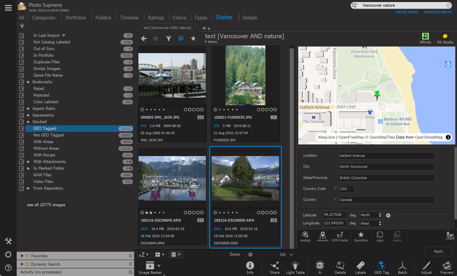
    Photo Supreme screen for Preparing the use of Maps

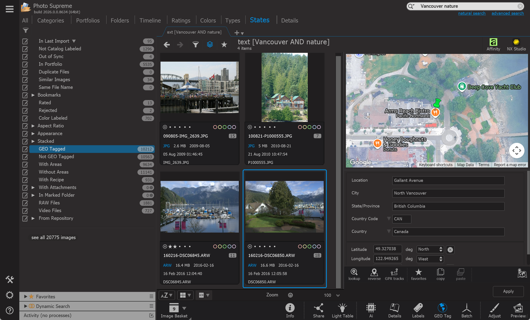
    This time with Google Maps.

    Photo Supreme screen for Preparing the use of Maps